USGS releases data regarding legacy groundwater contaminant plume in Wyoming's Little Wind River
The former site of a uranium mill hasn't been used since 1963, but its legacy remains.
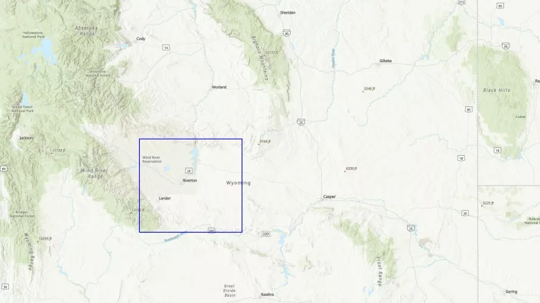
The Riverton Processing site was a uranium mill 4 kilometers southwest of Riverton, Wyoming, that prepared uranium ore for nuclear reactors and weapons from 1958 to 1963. The U.S. Department of Energy completed surface remediation of the uranium tailings in 1989; however, groundwater below and downgradient from the tailings site and nearby Little Wind River was not remediated. Beginning in 2010, a series of floods along the Little Wind River began to mobilize contaminants in the unsaturated zone, resulting in substantial increases of uranium and other contaminants of concern in monitoring wells completed inside the contaminant plume. In 2011, the U.S. Department of Energy started a series of university and Government agency retrospective and field investigations to understand the processes controlling contaminant increases in the groundwater plume. The goals of the field investigations described in this report were to (1) identify and quantify the contaminant flux and potential associated biological effects from groundwater associated with the legacy plume as it enters a perennial stream reach, and (2) assess chemical exposure and potential effects to biological receptors from the interaction of the contaminant plume and the river.
Field investigations along the Little Wind River were completed by the U.S. Geological Survey during 2015–17 in cooperation with the U.S. Department of Energy Office of Legacy Management to characterize: (1) seepage areas and seepage rates; (2) pore-water and bed sediment chemistry and hyporheic exchange and reactive loss; and (3) exposure pathways and biological receptors. All data collected during the study are contained in two U.S. Geological Survey data releases, available at https://doi.org/10.5066/F7BR8QX4 and https://doi.org/10.5066/P9J9VJBR. A variety of tools and methods were used during the field characterizations. Streambed temperature mapping, electrical resistivity tomography, electromagnetic induction, fiber-optic distributed temperature sensing, tube seepage meters, vertical thermal sensor arrays, and an environmental tracer (radon) were used to identify areas of groundwater seepage and associated seepage rates along specific sections of the study reach of the river. Drive points, minipiezometers, diffusive equilibrium in thin-film/diffusive gradients in thin-film probes, bed-sediment samples, and equal discharge increment sampling methods were used to characterize pore-water chemistry, estimate hyporheic exchange and reactive loss of selected chemical constituents, and quantify contaminant loadings entering the study reach. Sampling and analysis of surface sediments, filamentous algae, periphytic algae, and macroinvertebrates were used to characterize biological exposure pathways, metal uptake, and receptors.
Areas of focused groundwater discharge identified by the fiber-optic distributed temperature sensing surveys corresponded closely with areas of elevated electrical conductivity identified by the electromagnetic induction survey results in the top 5 meters of sediment. During three monitoring periods in 2016, the mean vertical seepage rate measured with tube seepage meters was 0.45 meter per day, ranging from −0.02 to 1.55 meters per day. Five of the 11 locations where vertical thermal profile data were collected along the study reach during August 2017 indicated mean upwelling values ranging from 0.11 to 0.23 meter per day. Radon data collected from the Little Wind River during June, July, and August 2016 indicated a consistent inflow of groundwater to the central part of the study reach, in the area congruous with the center of the previously mapped groundwater plume discharge zone. During August 2017, the greatest attenuation of uranium from reactive loss in pore-water samples was observed at three locations along the study reach, at depths between 6 and 15 centimeters, and similar trends in molybdenum attenuation were also observed. Bed-sediment concentration profiles collected during 2017 also indicated attenuation of uranium and molybdenum from groundwater during hyporheic mixing of surface water with the legacy plume during groundwater upwelling into the river. Streamflow measurements combined with equal discharge increment water sampling along the study reach indicated an increase in dissolved uranium concentrations in the downstream direction during 2016 and 2017. Net uranium load entering the Little Wind River study reach was about 290 and 435 grams per day during 2016 and 2017, respectively. Biological samples indicated that low levels of uranium and molybdenum exposure were confined to the benthos in the Little Wind River within and immediately downstream from the perimeter of the groundwater plume. Concentrations of molybdenum and uranium in filamentous algae were consistently low at all sites in the study reach with no indication of increased exposure of dissolved bioavailable molybdenum or uranium at sites next to or downstream from the groundwater plume.
Comparison of the August 2017 results from electromagnetic induction, tube seepage meters, vertical thermal profiling, and pore-water chemistry surveys were in general agreement in identifying areas with upwelling groundwater conditions along the study reach. However, the electroconductivity values measured with electromagnetic induction in the top 100 centimeters of sediment did not agree with sodium concentrations measured in pore-water samples collected at similar streambed depths. Differences and similarities between multiple methods can result in additional insights into hydrologic and biogeochemical processes that may be occurring along a reach of a river system interacting with shallow groundwater inputs. It may be advantageous to apply a variety of geophysical, geochemical, hydrologic, and biological tools at other Uranium Mill Tailings Remedial Action sites during the investigation of legacy contaminant plume interactions with surface-water systems.
View the report here.
Citation Information
Publication Year |
2023 |
Title |
Interaction of a legacy groundwater contaminant plume with the Little Wind River from 2015 through 2017, Riverton Processing site, Wyoming |
DOI |
|
Authors |
David L. Naftz, Christopher C. Fuller, Robert L. Runkel, John Solder, W. Payton Gardner, Neil Terry, Martin A. Briggs, Terry M. Short, Daniel J. Cain, William L Dam, Patrick A. Byrne, James R. Campbell |
Publication Type |
Report |
Publication Subtype |
USGS Numbered Series |
Series Title |
Scientific Investigations Report |
Series Number |
2022-5089 |
Index ID |
|
Record Source |
|
USGS Organization |
Wyoming-Montana Water Science Center |


